Like the Ohio River Trail West on facebook!
CINCINNATI’S WESTERN RIVERFRONT: A VISION FOR GROWTH
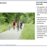
Cincinnati’s western riverfront is an historic area with mutually compatible and reinforcing land uses – residential, commercial and industrial. The area remains viable and vibrant. But the area can be more. There is abundant under used and vacant land, and since WWII, this area has been losing residents.
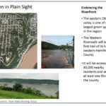
A critical economic development goal is to retain and attract residents. How can this area be repopulated? A significant tool in reaching this goal can be utilizing our greatest underdeveloped economic development resource: The Ohio River. Amenities are powerful influences in attracting and retaining people and jobs. The Ohio River views and access have unique amenity values – as demonstrated by the developments on Cincinnati’s eastern riverfront. The Phase 1 Western Riverwalk would be a feasible, relatively simple, yet effective start in utilizing the river’s amenity potentials:
• It would increase connectivity between downtown and the western riverfront;
• It would increase property values along its path;
• It would help attract and retain residents;
• It would be both a local and a regional resource.
The Ohio River Trail West is where public policy and involvement can help, and provide significant benefits for all.
Ohio River Trail West News and Press Releases
As we make progress, we share updates and press releases through this website and our facebook page. Read all the latest!
- OKI Adopts Ohio River Trail West into 2040 Long Range Plan July 6, 2016
- City to Dedicate Right of Way for Section of Ohio River Trail West April 17, 2015
- Price Landing Park Framework Presentation scheduled Wednesday April 15, 2015 March 24, 2015
- Ohio River Trail West Gets Major Construction Grant January 16, 2015
- Interact for Health Awards $186,000 Grant to Study Cincinnati Urban Core Loop Trail Network December 12, 2014
- Ohio River Trail Preliminary Drawings! August 7, 2014
- Ohio River Trail West Public Open House July 23, 2014 July 3, 2014
- MSD Improvements Complimentary to Western RiverWalk Project January 20, 2014
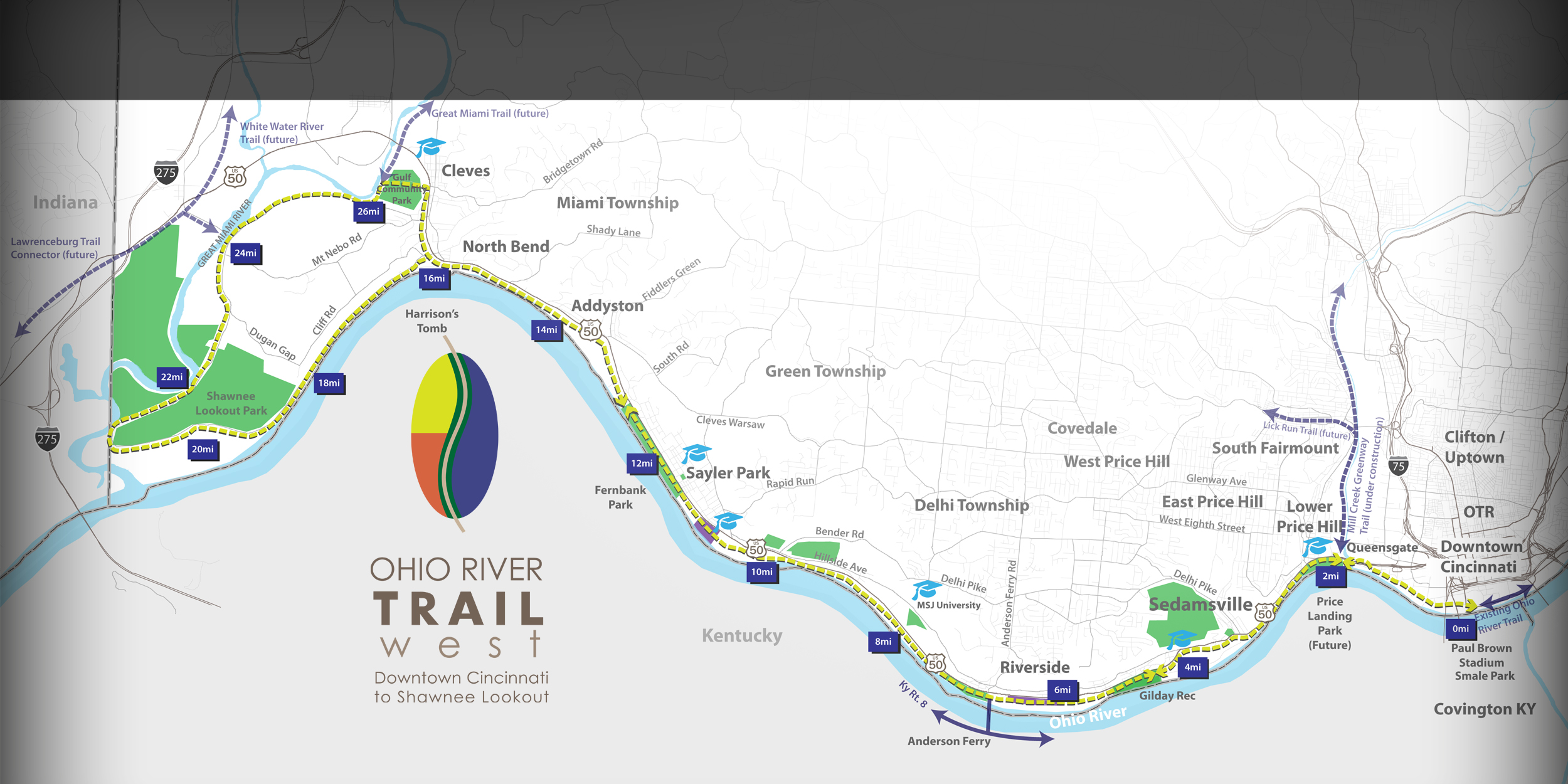
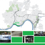
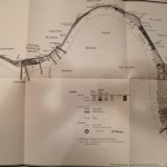
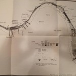
The Map
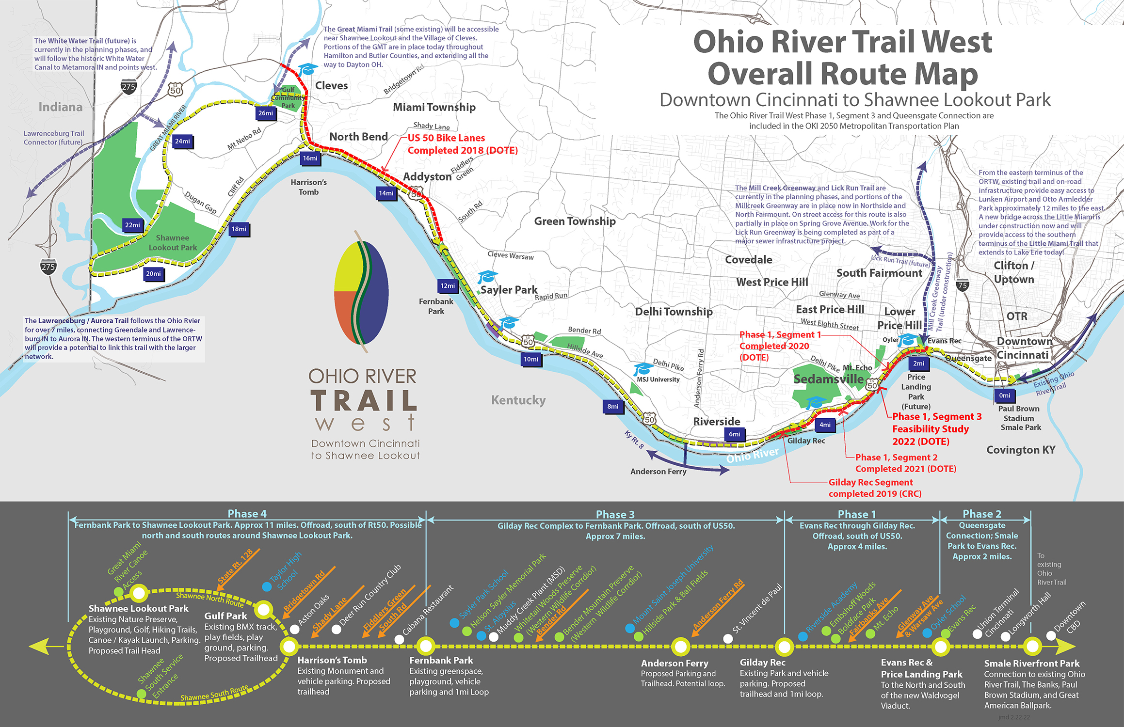
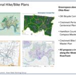
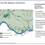
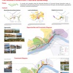
The Ohio River Trail West is more than just a hike/bike path. It connects thousands of people to dozens of neighborhoods parks and landmarks.
The Presentation
You can download the pdf here!
Cincinnati Connects – December 2015
![]() The Cincinnati Connects plan released in December 2015 is a vision for a 42-mile urban loop trail that would connect 32 of the City’s neighborhoods as well as dozens of amenities and destinations along the way. The plan is a collaborative effort lead by the Green Umbrella Regional Trail Alliance, recently renamed Tri-State Trails. The trail will be comprised of segments of trail already in various stages of planning including the Ohio River Trail West, Ohio River Trail between downtown and Lunken (Oasis Trail), Wasson Way, and the Mill Creek Greenway. The plan has been well received by City and County leaders. The search for funding is ongoing.
The Cincinnati Connects plan released in December 2015 is a vision for a 42-mile urban loop trail that would connect 32 of the City’s neighborhoods as well as dozens of amenities and destinations along the way. The plan is a collaborative effort lead by the Green Umbrella Regional Trail Alliance, recently renamed Tri-State Trails. The trail will be comprised of segments of trail already in various stages of planning including the Ohio River Trail West, Ohio River Trail between downtown and Lunken (Oasis Trail), Wasson Way, and the Mill Creek Greenway. The plan has been well received by City and County leaders. The search for funding is ongoing.
The plan outlines cost and benefits, and goes into in-depth detail on trail alignment options.
Check out pages 38 through 65 of Part 1 for the complete breakdown on the Ohio River Trail West between Lower Price Hill and Downtown!
Part 1; http://groundworkcincinnati.org/s/Cincinnati-Connects-Report-Part-1-xu8h.pdf
Part 2; http://groundworkcincinnati.org/s/Cincinnati-Connects-Report-Part-2-7de8.pdf
UC Niehoff Studio – Spring 2013
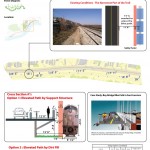
In the Spring of 2013, UC’s venerable Niehoff Study Group examined some of the challenges posed in implementing the Western RiverWalk. Most notably, was the challenge of limited space between the street and railroad tracks in the area just west of the Waldvogel Viaduct. Their findings were very encouraging!
Contact us for a high-res pdf!
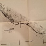
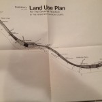
Historical Plans
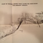
As it turns out, our idea for a hike/bike trail along the western riverfront isn’t exactly original. We’ve found studies dating back to the late 1960’s and early 1970’s. A lot has changed in the past 40 years, and we think this is a better time than ever to make this a reality. As the old proverb goes, ‘the best time to plant a tree is 20 years ago… the second best time is now.’
Who Are We?
We are residents, community leaders, business leaders and design professionals. We are all volunteers passionate about the success of our West Side communities. We all believe that a hike/bike trail along the Western Riverfront will be a catalyst for new life in some of our City’s oldest neighborhoods.
Funding & Design
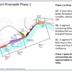
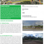
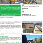
With over 1 million in funding in place, work for segment 1 of the trail has begun. In 2014, the first section of trail was completed in Riverside and Sedamsville and preliminary design for the trail from Lower Price Hill to Riverside has been presented to the community. Detailed engineering is underway, and additional sources of funding are being sought. We are fortunate to have great partners across the region, including leaders within the City of Cincinnati and Hamilton County. Together we’re working everyday to make the trail a reality.
What Have We Done So Far? And what’s next?
Here’s what we’ve accomplished so far…
- Achieved inclusion of the entire trail route into the OKI 2040 Regional Transportation Plan
- Competed our first segment of trail in Sedamsville and Riverside
- Secured a federal CMAQ grant for Phase 1 construction
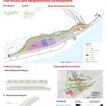
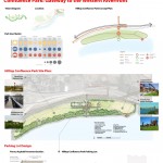
- Presented Phase 1 Design to the local community with very positive results
- Created conceptual and promotional maps for 28 miles of trail in Western Hamilton County
- Identified potential routes, property ownership, etc.
- Secured right of way for approximately 70% of the Phase 1 trail
- Identified existing and proposed complimentary trails
- Identified parks and amenities that will be connected
- Identified how the RiverWalk, as part of the Ohio River Trail, will connect a multi-state network of trails already in development
- Presented concept to:City Council, and Livable Communities Committee; Community Councils of Lower Price Hill, Riverside, Sedamsville, and East Price Hill and all three local park entities
- Worked to help the City Shape public policy on alternative transportation and recreation
- Secured $75,000 in City funding to begin first phase of engineering along the Phase 1 route between Lower Price Hill (The future Price’s Landing riverfront recreation area) and Gilday Recreation complex.
- Joining forces with the Ohio River Way to be the western leg of the Ohio River Trail
So, what’s left?
- Complete engineering for Phase 1
- Secure additional sources of funding for trail segments 1 – 4
- Continue construction!
Want to get in touch with us?
Use this form!
